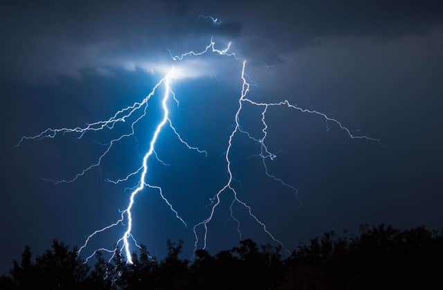
Met Office issues weather warnings as thunderstorms set to hit UK - here’s where


The Met Office has issued a yellow weather warning for parts of the UK as heavy rain and thunder are set to hit.
A yellow Met Office weather warning for thunderstorms is in place until 9pm on Saturday (31 July), covering the East Midlands, East of England, London & South East England, North East England, South West England, and Yorkshire & Humber.
Advertisement
Hide AdAdvertisement
Hide AdThe Met Office said: “Although many places will miss them, heavy showers and some thunderstorms are expected to develop this afternoon over some southern and eastern parts of England.
“Downpours could bring around 20 mm of rain within an hour, and perhaps 30-40 mm in a few hours for a few locations, leading to possible surface water flooding in places.
“Lightning and hail are most likely to occur across southeastern counties of England. The showers and thunderstorms will ease by late evening.”
What to expect from this yellow weather warning:
- There is a good chance driving conditions will be affected by standing water and possibly hail, leading to longer journey times by car and bus
- Delays to train services are possible
- Flooding of a few homes and businesses is possible
- Some short term loss of power is possible, as is damage to a few buildings or structures from lightning strikes
What will the weather be like next week?
The Met Office forecasts sunny spells and showers on Monday (2 August) and Tuesday 93 August) across England and Wales. It will be mostly fine and dry elsewhere, but with chilly mornings.
Advertisement
Hide AdAdvertisement
Hide AdThere is then the “risk of heavy showers in many places on Wednesday,” the Met Office adds.
Looking ahead into the middle of next week and up to the middle of August, the Met Office says unsettled, changeable conditions will continue to dominate.
A mixture of sunny spells and showers, with some drier interludes, is the general pattern expected through this period across the UK, with some of these showery spells potentially merging to give slightly longer spells of rain.
Scattered showers are likely for most, with some thunderstorms likely to develop from these.
Advertisement
Hide AdAdvertisement
Hide AdTorrential downpours are also likely in some places, with winds generally remaining breezy and temperatures expected to be near to average. They will perhaps be slightly above average in northern areas.
Through the remainder of this period it will likely turn to settled conditions, but a few showers cannot be ruled out, especially in southeastern areas.