Yorkshire snow: Full weather forecast, flood alerts and amber warning in place as heavy snow causes disruption
and live on Freeview channel 276
The Met Office warning means that heavy snow will lead to some disruption during Tuesday, February 2.
It is in place from 3am to 1pm.
After that heavy rain will begin to fall.
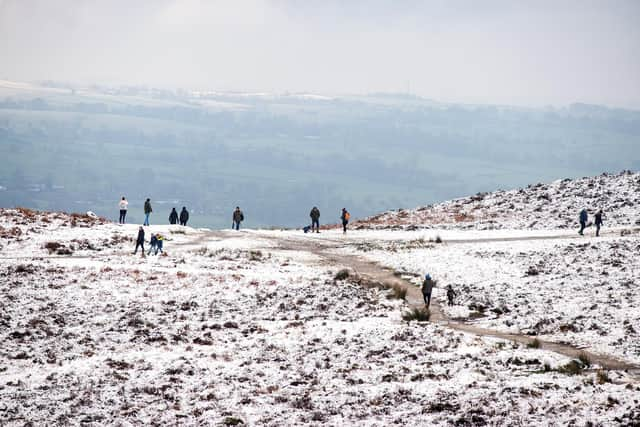

The snow has already caused disruption on the motorways, after a lorry jackknifed on the M62.
Advertisement
Hide AdAdvertisement
Hide AdHighways England are out ploughing and treating the network.
Full Yorkshire forecast from the Met Office:
A spell of persistent and heavy snow during Tuesday morning, with some significant accumulations likely in places, before snow gradually becomes confined to the hills.
Turning showery and less cold from the south during the afternoon.
Winds easing.
Maximum temperature 5 °C.
Further outbreaks of rain or showers overnight, some heavy, with any snow confined to the hill tops in the north.
Still generally cold, strong winds easing later.
Minimum temperature 1 °C.
Flood alerts and warnings in place:
Advertisement
Hide AdAdvertisement
Hide AdThe Environment Agency has these flood warnings and alerts in place as of 8am on Tuesday (Feb 2).
Flood warnings - Flooding is expected and immediate action required
Low lying properties in the Upper Hull catchment
River Derwent at Buttercrambe Mill
Flood alerts - Flooding is possible
Holderness Drain
Lower River Derwent
River Hull Central catchment
River Rye catchment
Upper River Derwent
Upper River Hull catchment