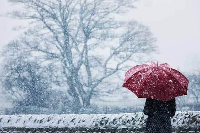
Snow and ice warning: Met Office warns of wintry conditions, snow showers and risk of ice across Dewsbury, Mirfield, Batley and Cleckheaton


The Met Office has forecasted a cold snap for the borough from Sunday evening (January 14), with a lowest temperature of -3C predicted for Monday night (January 15).
Met Office Head of Situational Awareness, Will Lang, said: “There will be a resurgence in the really cold weather through the weekend and that spreads across the whole of the UK during the early part of next week.
Advertisement
Hide AdAdvertisement
Hide Ad“Initially, this means there will be more in the way of showers around the coasts, turning increasingly to snow for many areas, especially further north.”
The Met Office’s long range forecast for our towns and villages, including Dewsbury, Mirfield, Batley and Cleckheaton, from Sunday, January 14 to Tuesday, January 23, states:
“Cloud, with patchy light rain clearing central and southern areas initially. Thereafter, turning colder from the North, with brisk northerly winds likely developing widely across the UK, bringing a risk of snow showers, most frequent across the north.
“Temperatures remaining cold, and a marked wind chill especially in the north. There is risk of unsettled weather pushing in from the south through this period, which could lead to a band of snow and sleet where it meets the colder air across the country.
Advertisement
Hide AdAdvertisement
Hide Ad“Confidence is low with regards the timing of the arrival of any such disturbance, but there is an increasing risk of something potentially disruptive at some point in this period.
“Widespread frosts continue to be a feature by night, with a risk of ice in places.”