
Risk of ice: Met Office issues yellow weather warning for ice across Dewsbury, Mirfield, Batley and Spen
The Met Office has issued a yellow weather warning for ice across North Kirklees tomorrow (Wednesday).
The warning is in place from midnight until 11am tomorrow, with the Met Office saying that rain and hill snow will be followed by clearing skies which will lead to the risk of icy patches on Tuesday night into Wednesday morning.
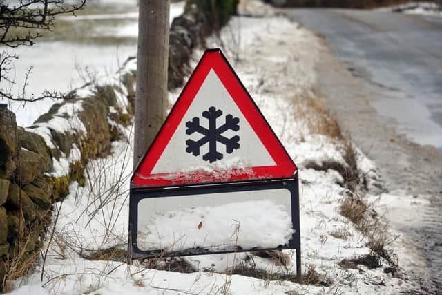

The forecast states: “Outbreaks of rain will spread southwards on Tuesday night into Wednesday morning, potentially falling as snow on hills for a time, before clearing to the south.
“As skies clear later, allowing temperatures to fall close to or below freezing, this will bring the risk of icy patches on untreated surfaces.
“Some temporary slushy snow deposits will be possible where snow persists for long enough, especially on grassy surfaces, but any significant accumulations will be largely restricted to communities and transport routes above about 300 m elevation.”