Prepare for snow as temperatures set to drop to -1C across Kirklees
and live on Freeview channel 276
It looks like the fine, dry and warm weather could be behind us as there are strong signals that there may be some unsettled weather on the way tomorrow (Wednesday), continuing through until the end of the week.
Forecasters at the Met Office say tonight (Tuesday) thicker clouds and outbreaks of rain will arrive in North Kirklees, spreading southwards overnight.
The Met Office forecast added: “It is expected that through the night the rain will turn to snow over high ground by Wednesday morning, with temperatures expected to be as low as -1C.”
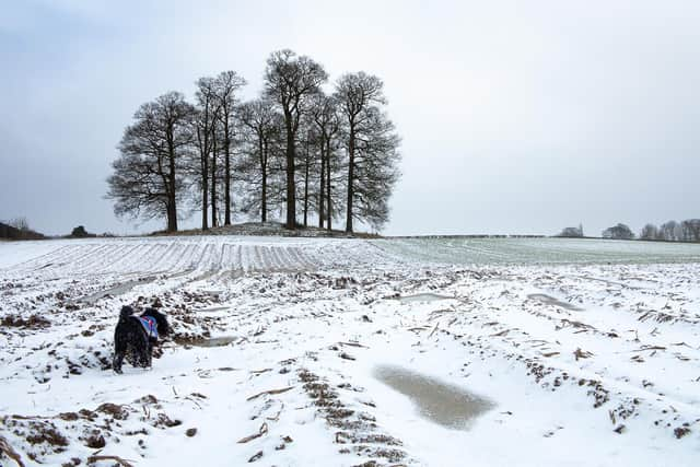

Outbreaks of rain are expected through Wednesday, with hill snow clearing later in the day.
The Met Office said: “Wednesday will bring clear spells and wintry showers, feeling much colder than recent days, with a maximum temperature of 5C.
“The cold weather will then continue Thursday through to Saturday with clear, sunny spells and wintry showers, most frequent near the coasts.”
It is expected to be particularly breezy on Thursday with cold temperatures and widespread frosts overnight, the Met Office added.